UN
5 East Street
£ 260,000
Description
We don't have a Description for this property.
- Bedrooms
- 3
- Bathrooms
- 0
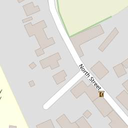
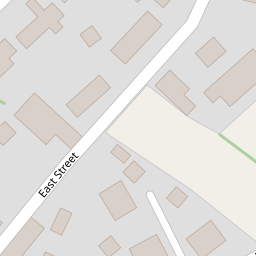
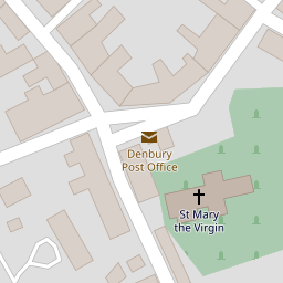
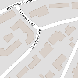


Leaflet © OpenStreetMap contributors
The heatmap indicates the level of crime in the area. The color of the heatmap indicates the crime severity and recency.
Metrics Year-on-Year
- Average area value
- 410,135.00 £Increased by 0.59 %
- Average area rental value
- 1,025.00 £/moDecreased by 31.53 %
- Est rental Yield
- 3.00 %Decreased by 31.97 %
- Crime Rate
- 832.00 %Unchanged by 0.00 %
from 407,715.00 £
from 1,497.00 £/mo
from 4.41 %
from 832.00 %
Nearby Schools
| Name | Type | Ofsted | Distance |
|---|---|---|---|
| Denbury Primary School | Community School | Good | 0.28 KM |
| Ipplepen Primary School | Foundation School | Good | 3.08 KM |
| Canada Hill Community Primary School | Community School | Outstanding | 3.93 KM |
| Bradley Barton Primary School And Nursery Unit | Community School | Good | 4.04 KM |
| Broadhempston Village Primary School | Academy Converter | 4.34 KM |
Images
Nearby Streets
| Name | Average Price | Average Sqft | Distance |
|---|---|---|---|
| Copsey Lane | £ 612,500 | 0 | 0.00 KM |
| Woodland Road | £ 462,500 | 0 | 0.00 KM |
Nearby Transport
| Name | NLC | TLC | Distance |
|---|---|---|---|
| Newton Abbot | 3426 | NTA | 7.13 KM |
| Totnes | 3558 | TOT | 8.65 KM |
Nearby Listings
| Address | Price | Type | Score | Distance |
|---|---|---|---|---|
| East Street, Denbury | £ 365,000 | BUY | 6 / 10 | 0.02 KM |
| South Street, Denbury | £ 700,000 | BUY | 6 / 10 | 0.13 KM |
| South Street, Denbury, Newton Abbot | £ 335,000 | BUY | Unknown | 0.14 KM |
| Fairview Road, Denbury | £ 165,000 | BUY | 5 / 10 | 0.14 KM |
| Fairview Road, Denbury | £ 145,000 | BUY | 5 / 10 | 0.14 KM |
Nearby Properties
| Address | Price | Distance |
|---|---|---|
| 33 East Street | £ 425,000 | 0.00 KM |
| 3 East Street | £ 207,000 | 0.00 KM |
| 41 East Street | £ 382,500 | 0.00 KM |
| 7 East Street | £ 265,000 | 0.00 KM |
| 9 East Street | £ 269,950 | 0.00 KM |